
Upcoming intakes
Contact us for the next intake
About this course
This GIS BIM course is RDSIC's 12-session online programme integrating QGIS, BIM models and AI-assisted PyQGIS.
Planning data lives on GIS maps while designs live in BIM models, and the two are usually separated by coordinate mismatches and broken data flows. Bridging GIS and BIM lets engineers place structures in their real-world context, analyse spatial risk and present projects far more convincingly.
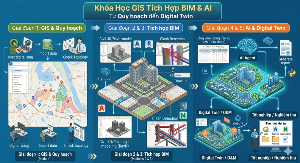
This 12-session online course from the RDSIC training centre of the Institute of Information Technology in Civil Engineering — Hanoi University of Civil Engineering (HUCE) follows one urban development project end to end: QGIS mapping on VN2000, infrastructure design in Civil 3D, InfraWorks context modelling, Revit integration, clash checking in Navisworks, and finally using AI to write PyQGIS scripts that replace manual work.
What you will learn
- Set up QGIS maps on the VN2000 coordinate system, georeference planning drawings and digitise existing conditions.
- Analyse digital elevation models: slope, aspect and flood-risk zoning to guide design decisions.
- Move GIS data into Civil 3D without losing coordinates, then design roads and drainage that follow the terrain.
- Build 3D context with InfraWorks and drop Revit models into exact position using shared coordinates.
- Check underground and above-ground clashes in Navisworks, export fly-through videos and step into digital twins with Autodesk Tandem.
- Have an AI assistant write PyQGIS scripts to buffer route corridors and export land compensation areas to Excel.
Who should enrol
- Road, infrastructure and water-resource design engineers.
- BIM Coordinators and Managers extending into site-wide spatial management.
- Urban planners and project management specialists.
- Engineering students getting ahead with GIS, BIM and AI technology.
Detailed syllabus
1. Spatial data fundamentals and project setup
- Vector and raster data explained
- Geographic versus projected coordinate systems; the VN2000 standard
- Installing QGIS and key plugins
- Choosing the correct projection zone for your province
- Connecting satellite basemaps and downloading open DEM data
2. Digitising and cleaning the database
- Topology rules: no overlaps or gaps
- Georeferencing 1/500 planning maps against satellite imagery
- Digitising site boundaries and zones into separate shapefile layers
- Completing the existing-conditions GIS database
3. Terrain analysis and spatial risk
- DEMs and spatial interpolation
- Extracting contours in QGIS
- Slope and aspect analysis
- Mapping flood-prone low areas as building restriction zones
4. Bringing GIS into the design environment
- GIS-CAD interoperability
- The Map 3D workspace in Civil 3D
- Importing shapefiles without coordinate loss
- Generating the existing ground surface from GIS elevation data
5. Route selection and infrastructure planning
- Using GIS risk data to optimise route design
- Alignments and corridors that avoid analysed flood zones
- Preliminary drainage design following real terrain
- Exporting a 3D infrastructure model on VN2000
6. Rapid digital context with InfraWorks
- Digital context and the Model Builder concept
- Creating 3D site context from cloud data in minutes
- Pushing Civil 3D roads and pipes into InfraWorks
7. Merging Revit buildings into GIS space
- Shared coordinates across BIM platforms
- Assigning real-world coordinates to a Revit design
- Landing the Revit model precisely on its planned plot
8. Underground and surface clash control
- Coordination and clash detection workflow
- Federating models in Navisworks
- Clash matrix between piles and buried utilities
- Reviewing results and issuing reports
9. Visual reporting and digital twins
- Digital twin and lifecycle basics
- Views, lighting and fly-through videos for investment presentations
- Pushing data to Autodesk Tandem for online asset management
- Finalising a clean integrated BIM-GIS model
10. AI assistants and GIS automation
- Automated geoprocessing thinking
- Prompt writing skills for AEC engineers using large language models
- Casting AI as a spatial data analyst
- Structuring prompts that make AI generate PyQGIS code
11. Running scripts on real problems
- Embedding and debugging PyQGIS inside QGIS
- Auto-buffering the route safety corridor with AI-generated code
- Extracting compensation areas of affected parcels straight to Excel
12. Final review and acceptance
- Recapping the whole workflow
- Submitting the project folder: maps, risk report, federated model, compensation spreadsheet
- Q&A and guidance for applying the skills at work
Learning format
The course runs online over Zoom in 12 evening sessions with direct interaction and after-class support in the group. Everything follows one real urban project, and the final deliverable is a complete BIM-GIS package produced by each student.
Class photos and videos
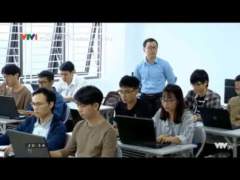
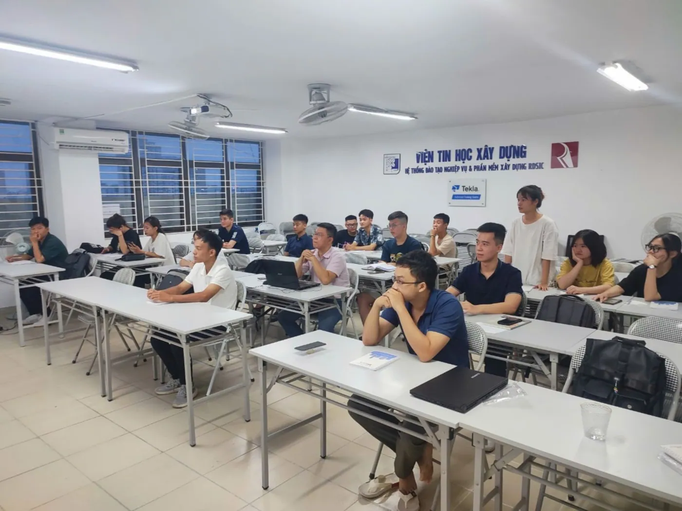

Certificate of completion
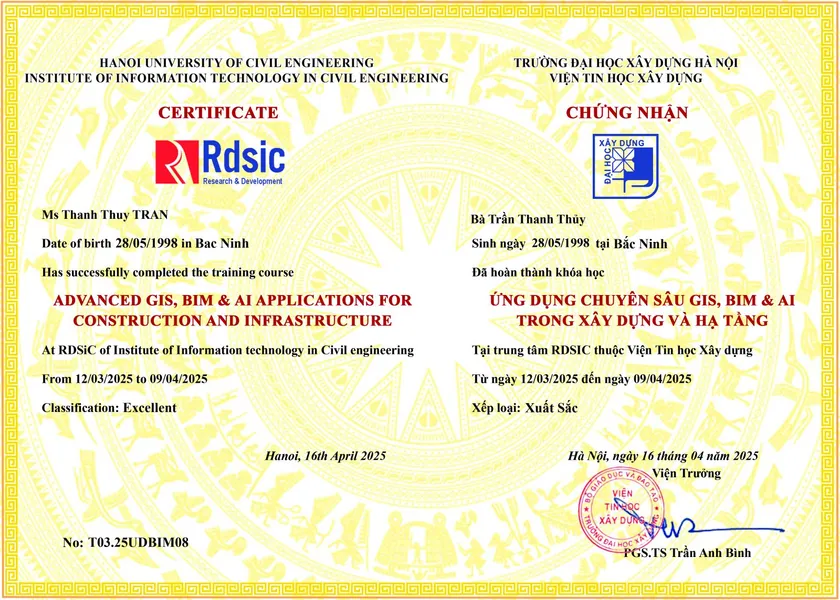
Graduates receive a certificate from the Institute of Information Technology in Civil Engineering — Hanoi University of Civil Engineering (HUCE). Call 0989 427 809 or 0914 388 841 to reserve a place in the next intake.
Promotions and discounts
Group tuition discount — applied to every group member and the group leader:
| Group size | Group members | Group leader |
|---|---|---|
| 2 people | 5% off | 10% off |
| 3 people | 5% off | 15% off |
| 4 people | 5% off | 20% off |
| 5 people | 10% off | 25% off |
| 7 people | 10% off | 30% off |
| 10 people | 10% off | 50% off |
| 15 people | 10% off | 70% off |
| 20 people | 20% off | 100% off |
Note: this discount cannot be combined with any other promotion.
Discounts for taking multiple courses at RDSIC
- Take two courses in parallel and get 10% off the tuition of each course.
- Your second course at RDSIC is 10% off.
Deferral policy
- In-person courses: deferral of up to one year from the date the centre confirms it.
- Online courses: no deferral; as an exception, students who have attended less than 50% of the course may be granted a deferral of up to one year.
Related courses
- MS Project Course – Construction Project Management
- Navisworks Manage Course
- Revit Structure for Construction Course
- Revit Family Creation Course
Browse the full list at Construction Courses.